The potential for extreme fire danger on Friday has forecasters asking the public to avoid any and all outdoor activities that may produce a spark.
The National Weather Service has put in a red flag warning for extreme fire weather conditions Friday across the Front Range and Eastern Plains from 11 a.m. to 9 p.m. Friday.
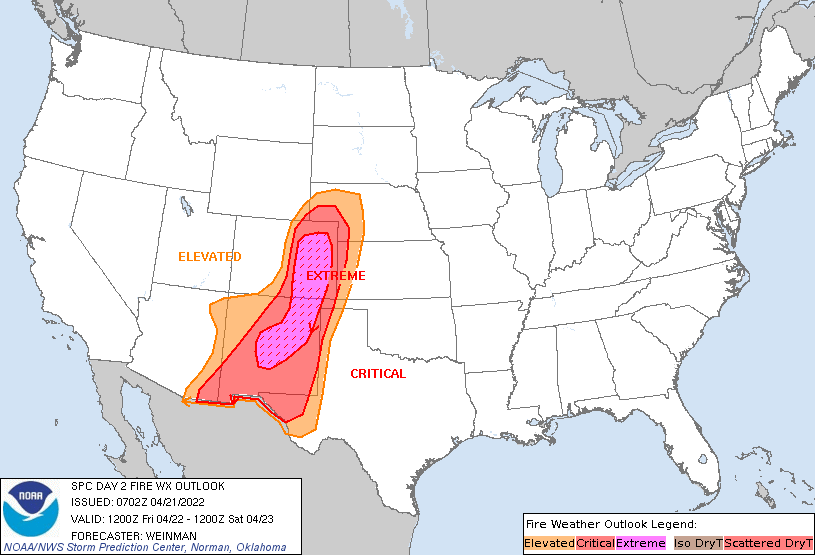
“It’s not often we see ‘extreme’ fire weather conditions, but Friday will be one of those days!” NWS Boulder said on Twitter.
The region is expected to see strong winds with gusts from 40 to 60 mph, very low humidity and unseasonably warm temperatures. Forecasters said that any new fire during these conditions would exhibit rapid spread, becoming difficult if not impossible to control.
Winds will become strong late morning into early afternoon Friday, and gusts are expected to peak from 2-6 p.m. Humidity is expected to plunge during this time, as low as 6-10% in some areas.
Northern Colorado public land agencies are reminding everyone to recreate responsibly in light of recent wildfires, with wildfire risk expected to continue year-round amid rising temperatures, sustained drought and windy conditions, according to a release from Boulder County Parks and Open Space.
Visitors to public lands and open spaces are reminded to know the fire regulations that apply to the area they plan to visit and to know the current fire risk.


