The Longmont Leader accepts contributions, photos, and op-eds for publication from community members, business leaders and public officials on local topics. Publication will be at the discretion of the editor and published opinions do not represent the views of the Longmont Leader or its staff. To submit a contribution, email [email protected].
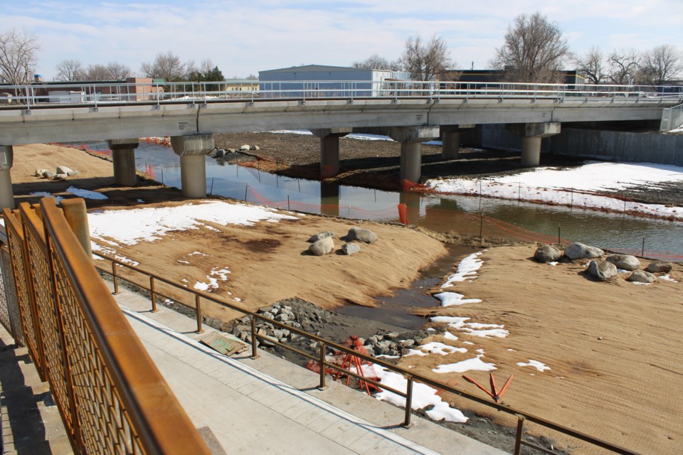
Several facts about Rivertown, a 21-acre annexation/development proposal along our St. Vrain Corridor, should concern Longmont residents. Rivertown is immediately east of Rogers Grove and Fairgrounds Lake, extending along the Greenway to Sunset Street. The proposal is on city council’s agenda for January 11.
Background: After our 2013 flood, Longmont adopted a 500-year-flood mitigation plan. Residents who saw the plan’s potential impacts to wildlife and habitat started “Stand With Our St. Vrain Creek” (standwithourstrvraincreek.com
This flood mitigation plan meant that 800 acres of privately owned designated floodplain properties in the City reach of the St. Vrain not suited for development could potentially be developed after flood mitigation. Over $400 million (and counting) in public funds has been spent on flood mitigation, and now these property owners/developers want to capitalize on our investment. We, the public, should get something we value in return for our massive tax dollars!
For properties like Rivertown, it is prudent to apply a standard concerned with protecting the common good. This standard should reflect good stewardship of our public investment while protecting our Greenway’s riparian wildlife habitat (about 90% of wildlife depend on riparian areas for survival). Our St. Vrain jewel belongs to all of us and needs protection from selfish interests. Roger Jones donated the acreage for Rogers Grove so residents might “always have a place to connect with nature, learn and enjoy.” Nothing in the Rivertown proposal suggests any respect or regard for the adjacent natural environment. Development proposals in this exceptional corridor should be exceptionally designed!
Rivertown's plan includes 320 residential units (mostly apartments). In the last 140 years, 12 floods have inundated the St. Vrain Corridor. Despite our best mitigation efforts, ever-more extreme weather conditions means it will very likely flood again. The Marshall Fire shows the huge tragedy that can occur when previously unlikely dangers are ignored. Is putting people and property in known harm’s way morally and fiscally responsible?
Compliance with Code: Rivertown does not comply with the Longmont Development Code (LDC) zoning designation for this property, which is Mixed-Use Employment. This designation includes light industrial, flex work spaces, research and development--all to encourage employment. Rivertown plans only 10% of the property be used as commercial and 90% as residential, essentially proposing to circumvent the intent of the zoning designation.
Compatibility: LDC item 15.05.030(G)(11) states that development in natural areas must be compatible in terms of land use, site design, and building layout and design. Over half of Rivertown is bordered by natural areas, meaning the proposed “high-density” residential units are inappropriate. At a minimum, a multilayered buffer of native landscaping between the development along the Creek and Rogers Grove/Fairgrounds Lake is needed to screen from light intrusion, storm runoff, noise, and other human disturbance.
Of further concern is that the habitat/species assessment for Rivertown was conducted in winter, meaning little wildlife was seen during the survey. A thorough breeding-season survey should be conducted, especially to include the threatened Northern Leopard Frog. There should also be a plan to buffer the Red-Tail Hawk and Osprey nests near Rivertown during nesting season to prevent nest failure due to construction noise/activity.


