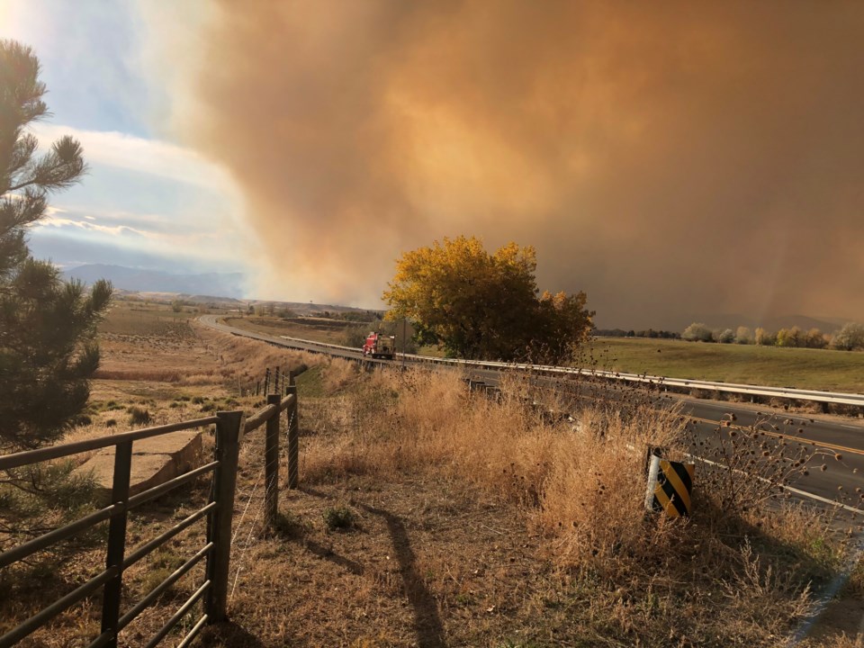
Strong winds fueled activity on the southern side of the CalWood fire, and there also was increased activity at the Lefthand Canyon fire, which is burning separately but nearby in western Boulder County.
The CalWood fire was burning 9,365 acres and was 17% contained as of Tuesday afternoon.
“Firefighters are actively building containment lines as the fire backs southward down the slope. There has also been some activity on the northeast side of the fire, mostly from interior fuels burning,” officials stated in an update posted at 2:55 p.m. to the Boulder County Office of Emergency Management website.
Crews are continuing to build a containment line and are patrolling established lines and the contained portion of the fire near U.S. 36 is holding, according to the post.
The Lefthand Canyon fire had grown to 470 acres as of Tuesday afternoon and was 4% contained.
“Crews have been primarily working on the north side of the fire, south of the Spring Gulch Road to build control lines,” according to the update.
Officials on Tuesday announced the creation of an interactive map for both fires that allows people to input an address to see where the fire perimeter is in relation to their locations. The map also includes a tool that allows people to measure the distance from a specific location or address to the fire. View the map here.
.jpg;w=120;h=80;mode=crop)
