Skip to content
Join our Newsletter

Longmont Weather Forecast 7/7-9/2020

In Brief:

Moisture is leaving the state as a giant high pressure system and upper level ridge allow temperatures to rise to about the highest values we see around here for the next week and beyond.

The Forecast Discussion:

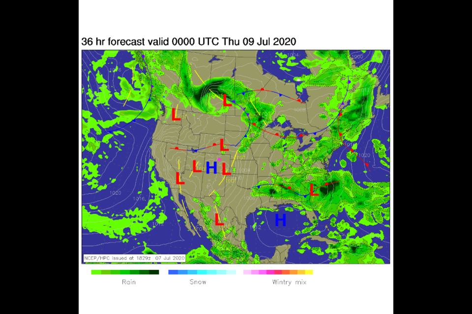
Here comes the heat. Again.  Fronts won't be able to approach Colorado easily with a high pressure center setting up over the state (see Figure 1 in the gallery above). We start this forecast period with the ridge already getting firmly established over the west (Figure 2). Dry air is encroaching from the east and west on Tuesday (Figure 3).  Just a narrow belt of moisture over the Rockies held on long enough for the scattered storms Tuesday night. The fires in the West are pretty well contained, only a small amount of smoke is lingering on the eastern plains.   By Wednesday noon, temperatures are rising to possibly hit 100F again (Figure 10) with the powerful ridge becoming more broad across the nation (Figure 5).

The Longer Range Forecast:

Our hottest day in the near term will be Friday (Sunday will challenge it for heat as well).  The ridge and high pressure center is gargantuan (Figure 6). Temperatures will soar to almost 20F above normal around Longmont with compressional heating from sinking air in the ridge and down slope flow off the mountains.  Over the next 5 days, we won't see any water falling from the sky (Figure 8). For a glimpse into the future, NEXT Wednesday's upper air map (Figure 9) shows that things are not going to change.  The ridge is even larger, if it has changed at all. With very little rainfall over the next week, we will hover near 100F 7 our of the next 10 days.


Note: I'm still on vacation for Independence Day week so I'm covering 3 days at a time.  It is also hard to say new interesting things when a ridge locks in like this. Stay cool out there!


About the Author: John Ensworth

John Ensworth used to work from Longmont as the PI for the NASA through the IGES (The Institute for Global Environmental Strategies). He now teaches technology, algebra, astronomy, meteorology, film school, and Lego robotics to middle/high school.
Read more


Comments


Current Weather

Mostly cloudy

Mostly cloudy

76°F

UV Index
0 Low
Pressure
30.11 Falling
Visibility
8 miles
Dewpoint
55 °F
Humidity
48%
Wind
SSW 3.2 mph
Gust
8 mph
Wind Chill
76 °F

Hourly Forecast

Today
8 PM
78°F
Mostly cloudy w/ t-storms
Today
9 PM
76°F
Intermittent clouds
Today
10 PM
73°F
Mostly clear
Today
11 PM
71°F
Clear
Tomorrow
12 AM
69°F
Clear
Tomorrow
1 AM
67°F
Clear
Tomorrow
2 AM
65°F
Clear
Tomorrow
3 AM
65°F
Clear
Tomorrow
4 AM
65°F
Partly cloudy
Tomorrow
5 AM
64°F
Intermittent clouds
Tomorrow
6 AM
63°F
Cloudy
Tomorrow
7 AM
64°F
Mostly cloudy

7 Day Forecast

Mostly cloudy w/ t-storms

Friday

92 °F

Turning cloudy with a thunderstorm in spots late this afternoon


Partly cloudy w/ t-storms

Friday Night

63 °F

A thunderstorm in spots early this evening; otherwise, partly cloudy


Partly sunny w/ t-storms

Saturday

92 °F

Partly sunny with a thunderstorm in spots in the afternoon


Partly cloudy

Saturday Night

61 °F

Partly cloudy


Mostly cloudy w/ t-storms

Sunday

93 °F

Variable cloudiness with a thundershower in spots in the afternoon


Mostly cloudy

Sunday Night

62 °F

Increasing cloudiness


Mostly cloudy

Monday

93 °F

Mostly cloudy


Mostly clear

Monday Night

61 °F

Clear to partly cloudy


Intermittent clouds

Tuesday

94 °F

Intervals of clouds and sun


Intermittent clouds

Tuesday Night

62 °F

Partly cloudy


Sunrise and Sunset

Sunrise
5:46 AM
Sunset
8:27 PM

Based on AccuWeather data