For May 29-30, 2020 from the Cherrywood Observatory
Update 5/30 10am:
In Brief:
Expect above normal temperatures with more and sometimes fewer thunderstorms every day for the next week.
The 5/30 10am update:
Figure 1 update shows the Storm Prediction Center (SPC) is painting us with a marginal (1 on a scale of 1-5) risk of severe weather this afternoon. Storm coverage will be better today and tonight than the past few days, but conditions are not great for severe weather. I expect only a few cells to approach severe limits - which would include large hail and damaging winds. More likely, many folks will see around 0.10 inch of water. Sunday (Figure 2 update - another marginal risk) will be very similar to today, but storms and/or rain will be more widely scattered. The real main threat, as always with thunderstorms, is lightning. Be ready to seek shelter if you hear thunder. Enjoy the warm beautiful weekend!
End of the 5/30 10am update.
Forecast Discussion:
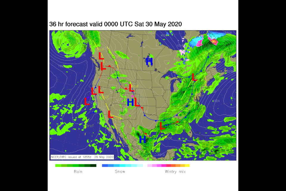
The front that cooled things down on Thursday will drift off to the east brining on the heat (Figure 1 in the gallery). We'll see garden variety storms Friday afternoon with very warm (almost 90F) (Figure 2 in the gallery). Enjoy your morning walk!
The Longer-Range Forecast:
Temperatures stay very warm through the weekend. Storms may become a bit more severe (barely) on Saturday afternoon with the heat and moisture in place (Figure 4 in the gallery). The big ridge over our heads is responsible for the warmth and the nearby trough to the west will help generate some lift (Figure 3 in the gallery). We will probably see the high temperature climb above 90F on Monday as the ridge gets even larger and stronger by the end of the weekend (Figure 5 in the gallery). There is a bit of a cool down and more storms Tuesday/Wednesday, next week (Figure 2), as a trough punches through the ridge (Figure 6 in the gallery). With a pattern like this, one has to look closely at the data for interesting changes!

