This content was originally published by the Longmont Observer and is licensed under a Creative Commons license.
Forecast Discussion:
Friday midday update:
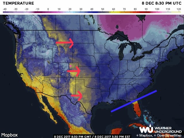
The data is in! And we didn't get any snow. The warm up is underway (see Figure 1) as westerly flow and down slope warming have already created a belt of warmer air from Canada to Mexico. Fun! But this very dry and gusty air has prompted fire weather and high wind advisories.
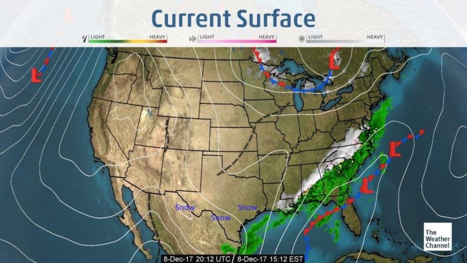
The current surface map (Figure 2) shows the path of snow through Mexico and southern Texas over the last couple of days and the current snow almost into Atlanta. That is really cold air.
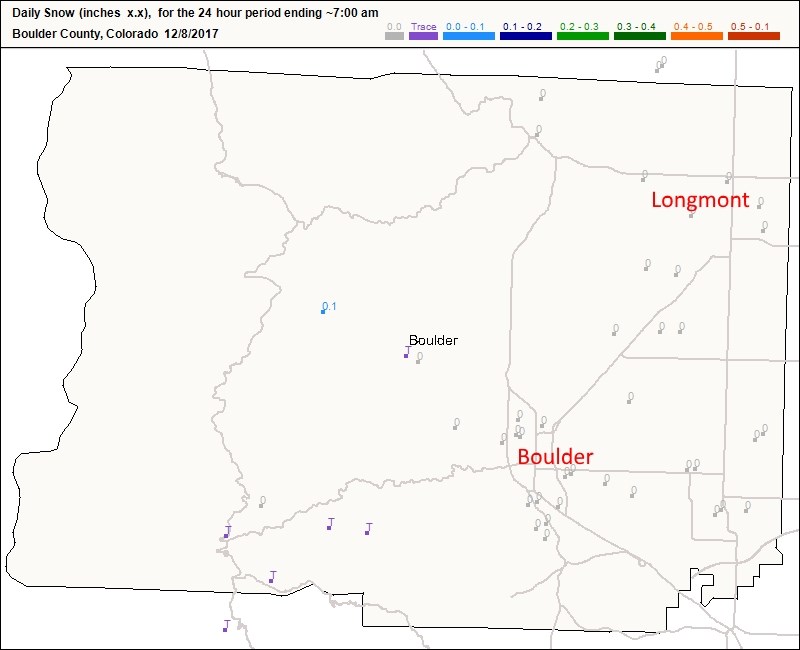
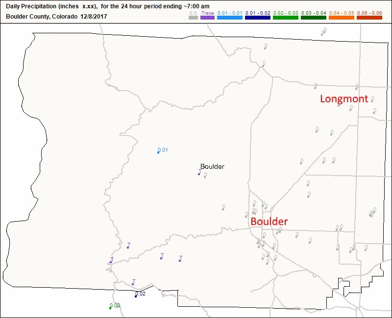
Figure 3 are the snow reports around Boulder county. There are a few touches of snow up in the high country, but not much. Figure 4 is rainfall, and it was just a trace where anything fell.
With the cold dense air moving east, the terrible winds in California should relax allowing firefighters to get a handle on the fires.
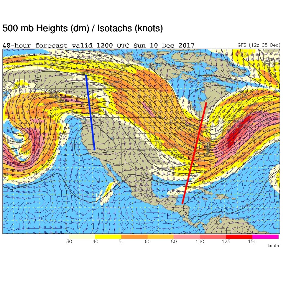
The longer term forecast:
The western ridge (blue line in Figure 5) is moving towards us and will give us quite a long stint of above normal temperatures. The normal high for this time of year is around 43F. We'll see mid-50's to lower 60's for the next 8-10 days. And it will remain abnormally dry.
Fantasy Christmas Forecast (from accuweather.com): Upper 40's for highs and mid teens for lows. Partly Cloudy. It is consistent with the last few peeks.