Skip to content
Join our Newsletter

Winter storm warning in effect

pexels-pixabay-662841

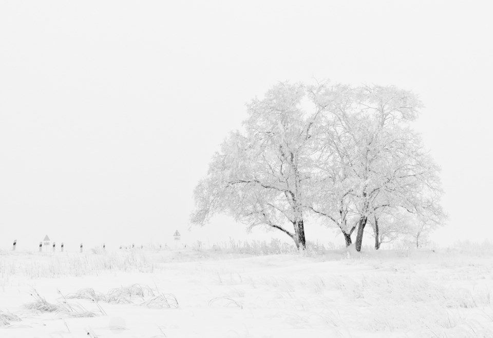
The National Weather Service, or NWS, has issued a Winter Storm Warning for the area. The warning is expected to last through noon, Saturday.

According to the NWS, heavy snow is expected with accumulations between 8-16 inches overnight for the Southern Front Range Foothills, Boulder, Denver, Castle Rock, Byers and the western suburbs of Denver. 

Travel could be difficult later today into tonight. If you must travel, the NWS suggests taking a winter storm kit with you which should include tire chains, booster cables, a flashlight, shovel, blankets and extra clothing. 

Snow has been falling in Longmont for a few days and so far the area has received around 2.8 inches. We are expecting to receive another 1-3 inches today with an additional 3-5 overnight with a low of 33F, according to Weather Underground. There is a 60% for more snow tomorrow and a high of 42F. 

HOPE will extend its overnight shelter through Nov. 9. The shelter is located at Messiah Church at 1335 Francis St. Doors open at 5:30 p.m. and welcomes all who have not previously been banned, according to a news release from the city of Longmont. 

For more information call 720-494-4673 or visit hopeforlongmont.org.

Find additional resources for people experiencing homelessness at bit.ly/Homeless-Solutions

Current Weather

Mostly cloudy

Mostly cloudy

77°F

UV Index
5 Moderate
Pressure
29.83 Falling
Visibility
8 miles
Dewpoint
39 °F
Humidity
25%
Wind
NE 5.5 mph
Gust
12.3 mph
Wind Chill
77 °F

Hourly Forecast

Today
3 PM
77°F
Mostly cloudy
Today
4 PM
76°F
Mostly cloudy
Today
5 PM
74°F
Mostly cloudy
Today
6 PM
71°F
Mostly cloudy
Today
7 PM
69°F
Mostly cloudy
Today
8 PM
65°F
Mostly cloudy
Today
9 PM
62°F
Cloudy
Today
10 PM
58°F
Mostly cloudy
Today
11 PM
54°F
Mostly cloudy
Tomorrow
12 AM
53°F
Mostly cloudy
Tomorrow
1 AM
52°F
Mostly cloudy
Tomorrow
2 AM
51°F
Partly cloudy

7 Day Forecast

Mostly cloudy w/ showers

Sunday

77 °F

Sun followed by clouds, turning breezy this afternoon with a shower


Intermittent clouds

Sunday Night

48 °F

Becoming partly cloudy


Mostly cloudy w/ t-storms

Monday

64 °F

Some sun, then turning cloudy, breezy and cooler with a couple of showers and a thunderstorm


Thunderstorms

Monday Night

45 °F

Evening thundershowers; overcast


Rain

Tuesday

55 °F

Cooler with periods of rain and a thunderstorm; breezy in the morning


Rain

Tuesday Night

44 °F

Rain


Showers

Wednesday

57 °F

Occasional morning rain and drizzle; otherwise, low clouds


Intermittent clouds

Wednesday Night

40 °F

Partly cloudy


Partly sunny

Thursday

70 °F

Partly sunny, pleasant and warmer


Clear

Thursday Night

43 °F

Clear


Sunrise and Sunset

Sunrise
5:57 AM
Sunset
7:58 PM

Based on AccuWeather data