This content was originally published by the Longmont Observer and is licensed under a Creative Commons license.
Forecast Discussion:
Everything is still on track for little snow in Longmont, and real cold returning. I'll post this early again as the next system hits the state overnight.
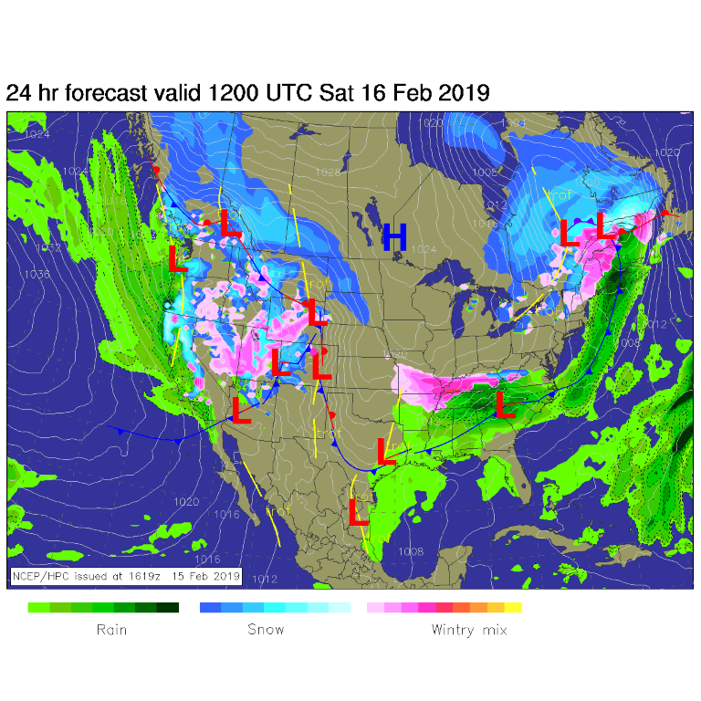
The Pacific moisture flow is intense and continues to roar over the west. Sadly, it stops in the Colorado mountains. Not much makes it over the wringer of the high elevations and the uplift it allows (Figure 1).
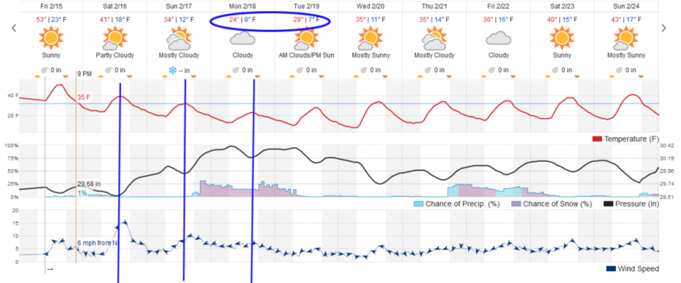
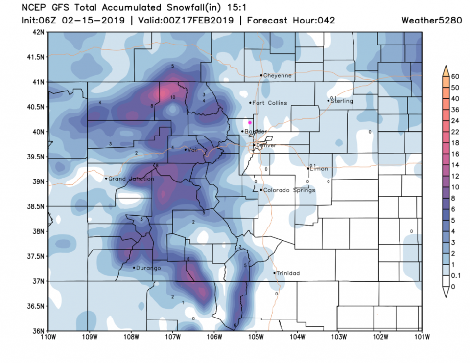
There is a chance of flurries along I-25 Friday pm into Saturday pm (not showing up on the weatherunderground model in Figure 2 - but painted in by the GFS in Figure 3). A succession of cold fronts each afternoon Saturday, Sunday and Monday cool us down significantly (Figure 2).
The longer range forecast:
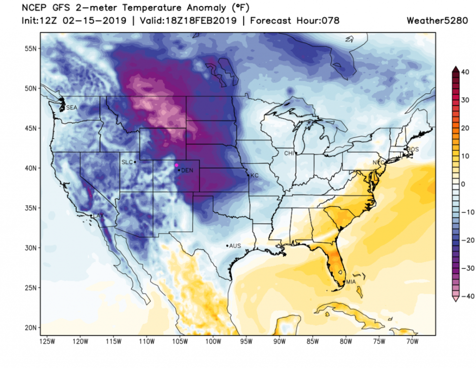
Those cold fronts in Figure 2 (vertical blue lines) drop us to highs in the 20's F Monday and Tuesday. This invasion of cold air from the north is pretty extensive (Figure 4).
After that it remains cold with another snow-blip at the end of the week. Bundle up!