In 2016, the Longmont City Council adopted Envision Longmont — a comprehensive multimodal plan for the city. On Tuesday, Sept. 14 at 9 a.m., the city invites the public to celebrate the completion of Spring Gulch #2 — one area of focus to complete a connected transportation system in Longmont.
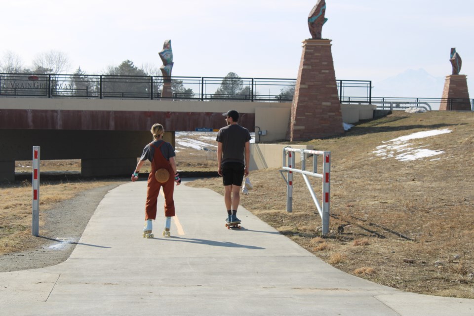
The Spring Gulch #2 project was designed to connect the Ute Creek Golf Course to Union Reservoir via a trail. From the reservoir, travelers could then connect with the St. Vrain Greenway to reach Sandstone Ranch.
The project began in 2013, according to the city of Longmont website, and includes on-street bike lanes and sidewalks between Ninth and 17th avenues along County Line Road, left-turn lanes along County Line Road, trail connections at the Jim Hamm Nature Area and a greenway trail addition between Stephen Day Park and Union Reservoir.
The project also introduced five acres of wetland to the community, according to a city of Longmont news release.
“The completion of these two projects marks significant progress in our goal to provide Longmont residents and visitors with a complete, balanced and connected transportation system as outlined in our Envision Longmont Plan ,” Mayor Brian Bagley said. “In addition to making County Line Road safer for all users, these improvements will also offer our community additional options for biking and walking in Longmont.”
Bagley and city of Longmont employees will speak at the Sept. 14 event which will be held on the east side of County Line Road on the Spring Gulch #2 trail, just north of Ninth Avenue. Parking is limited. Participants are encouraged to ride a bike or carpool to the event.


