The finalization of Longmont’s floodplain insurance rate maps continues to face delays because all appeals have not been resolved, said Monica Bortolini, senior civil engineer and floodplain administrator for the city.
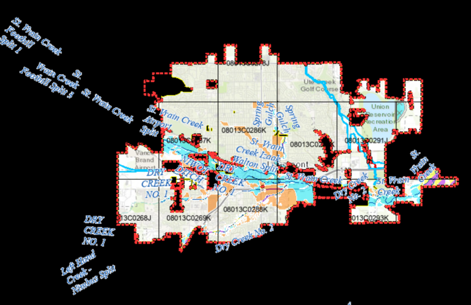
After the devastating 2013 flash flood in Longmont, the Federal Emergency Management Agency restudied the heavily damaged creeks and communities in the region, and re-issued preliminary insurance rate maps, which were adopted by City Council and used to manage the area since 2019.
The federal agency has not officially adopted the maps, because of at least one unresolved appeal, Bortolini explained.
This slows new development, and many residents and companies are eager to find out when the maps will be finalized, she said.
“Every time we finish a Resilient St. Vrain project and want to get a revision of the new floodplain maps, we submit documentation to request that FEMA revive that floodplain map to show much less floodplain now that the creek can handle a lot more flow, but we haven’t been able to make those revisions effective yet,” Bortolini explained.
After Boulder County’s preliminary insurance rate maps were issued on Sept. 30, 2019, city officials, residents and county officials were given three months to submit appeals, many of which were not resolved within that time period, the senior civil engineer said.
Longmont worked with the consulting firm Jacobs to submit one of the appeals, which showed it would be very unlikely for water to pass over Highway 119 near south Martin Street, she explained. That appeal was accepted.
Other appeals were submitted by the town of Erie and property owners on Left Hand Creek, Bortolini said.
At least one appeal, in unincorporated Boulder County, has not been resolved. The federal agency has not released the nature of that appeal, but has agreed to move the rest of the maps forward while that appeal is resolved.
There will be no appeal period for the revised preliminary maps, which are expected to be available by early July. The maps are then set to be finalized by November.
Bortonlini said she receives many calls and emails from people who are asking when the maps will be finalized.
“There won’t be any changes to who is required to have flood insurance and who isn’t until the new maps are final,” she explained. “Waiting for the new maps to become final also affects new development with what they are required to do and when they can begin work, in floodplain areas. So there are many reasons why folks are anxious to get the new maps approved.”
Christine Gaynes, FEMA Region 8 Risk Management Program team lead and mapping lead for Colorado, said the agency often receives a lot of appeals from highly populated areas such as Denver and Boulder counties.
The appeals process, which is required by law, can take time, she said.
“We try to engage the community and the stakeholders throughout the process, so there are no surprises,” she said. “It’s our goal to partner with communities and deliver the best, most accurate depiction of flood risk.”


