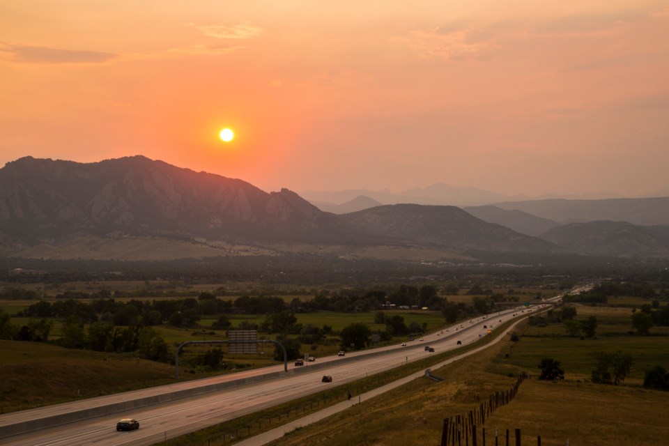
BoulderCAST, a team of meteorologists who forecast Boulder and Denver weather, have predicted that significant smoke content will reach ground level in Colorado later in the day on Thursday and “especially” on Friday, causing poor air quality. The smoke has been thick in the atmosphere above Colorado (causing hazy skies) since Wednesday, BoulderCAST said, primarily coming from the Dragon Bravo Fire in Arizona (95,000 acres and 9% containment) and the Monroe Canyon Fire in Utah (37,000 acres and 11% containment).
Depending on how active these fires are and and whether there are any new ignitions to the west of Colorado, BoulderCAST said that smoky conditions and poor air quality is expected to last through the weekend, if not longer.
This time of year is peak time for flash flooding, and BoulderCAST said that the thick wildfire smoke may “actually have some benefits over the next few days by reducing the risk of heavy rain (but also, all rain).”
“Wildfire smoke tends to suppress rainfall,” BoulderCAST said. “The decrease in solar heating caused by smoke can limit instability which can suppress convection and storm intensity. A slightly more complex way is through altering the particle size distribution (PSD) of droplets within the clouds themselves. Smoke particles are plentiful and small which makes for small cloud droplets that are less efficient at forming raindrops.”


