Public health and weather officials are warning of deadly temperatures that are set to arrive ahead of the holiday weekend.
A winter storm watch will be in effect for most of Boulder County Wednesday evening and overnight, and a wind chill watch will be in effect Wednesday evening through Friday morning, the National Weather Service said.
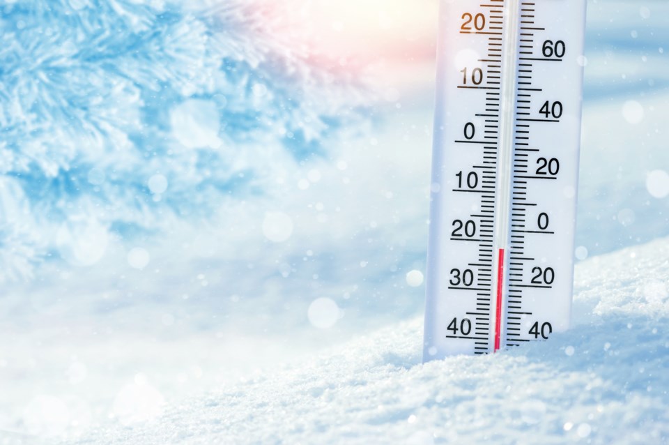
"Life-threatening" wind chill could drop to minus 60 degrees across the eastern plains, the agency said in an alert. Temperatures along the I-25 corridor could drop to minus 35.
"We promise that's not an exaggeration," the weather service said in a tweet. "This is likely to be the coldest day in 32 years."
Temperatures Wednesday evening could drop by 30 degrees in under an hour, according to the alert.
"Frostbite on exposed skin could occur in as little as 5 minutes," the notification read.
Gov. Jared Polis is deploying more than 100 Colorado National Guard members to support extreme cold weather operations across Colorado, the governor's office announced Tuesday afternoon.
Around 2 to 5 inches of snow is expected along the I-25 corridor and eastern plans Wednesday evening through Thursday morning, according to the agency's forecast. Blowing snow may cause hazardous driving conditions.
Longmont's HOPE organization will offer shelter for those experiencing homelessness Wednesday through Sunday at Journey Church, 2000 Pike Road. Messiah Church, at 1335 Francis Street, will offer shelter Friday and Saturday night.
Boulder County issued a public health advisory, which also warned residents of the frigid cold.
"Children, the elderly and people with disabilities or special medical needs are especially vulnerable during cold weather, as are people without stable housing," the advisory read. "Avoid using stoves, barbeques or ovens to heat your homes as they create a significant risk of carbon monoxide poisoning."
Boulder County Public Health issued the following tips:
- If you plan to be outdoors, dress in layers of warm clothing, including a hat, scarf, gloves and socks.
- Do not stay outdoors for extended periods.
- Check on and help family members, friends and neighbors with limited mobility and limited access to heat, such as seniors or those who are ill. Check on them frequently.
- If you have pets, bring them indoors and do not leave them outside overnight.
The agency also issued the warning signs of hypothermia:
Early signs
- Shivering
- Fatigue
- Loss of coordination
- Confusion and disorientation.
Late signs
- No shivering
- Blue skin
- Dilated pupils
- Slowed pulse and breathing
- Loss of consciousness.
"Even short exposure to these temperatures can create a risk of frostbite," the public health advisory read. "Frostbite is a bodily injury caused by freezing that results in loss of feeling and color in affected areas. The most common areas affected are the nose, ears, cheeks, chin, fingers or toes. Gently warm the person and seek immediate medical care if you believe someone is showing signs of hypothermia or frostbite."


