In Brief:
Heat takes a break with a cold front and storms Friday only to return for the weekend and the start of next week.
Update 6/26 9am:
Elements are coming together for notable severe weather today. A few supercell thunderstorms are expected to form in the foothills and move eastward. Storms will begin late morning in the mountains, will cross the I25 cities between 1-4pm intensifying as they come - then further intensify out on the plains after that. The SPC has issued a marginal risk for severe weather for the higher mountains (1 out of 5) and a slight risk from the foothills eastward (2 out of 5) including Longmont (Figure 4 update). Damaging straight line winds, large hail, and weak tornadoes are possible. There is a slightly elevated tornado risk from Denver to Colorado Springs where there is a 5% chance that a short lived tornado will pass within 25 miles of any given point. There is a 2% chance there will be a tornado withing 25 miles of a given home in Longomnt this afternoon (Figure 5 update).
End 6/26 9am update.
Update 6/25 9am:
The Storm Prediction Center in Norman, OK has extended the Marginal Risk (1 on a scale of 1-5, 5 being the most severe) westward to include the Front Range foothills and locations north and south into Wyoming and New Mexico (Figure 1 update in the gallery above). Severe thunderstorms containing damaging straight line winds, large hail, and even tornadoes -this time- are possible (Figure 2 update). Ample moisture is expected to flow into the state behind the cold front arriving late Thursday night. Still, storms will be widely scattered and the tornado risk will be more for the "land spout" variety. With the storms widely scattered, some locations will not see anything but light rain and distant storms. The GFS gives Longmont only 0.25 to 0.5 inch of water (a direct hit by a storm could easily double that rainfall total - Figure 3 update).
Definition: A landspout tornado is a non-supercell tornado with a narrow, rope-like condensation funnel that forms while the thunderstorm cloud is still growing and there is no rotating updraft - the spinning motion originates near the ground. These usually do not reach the more extreme intensities of a super-cell related tornado. Their damage levels are usually the same as an EF0-EF1 tornado but have reached EF3 levels on occasion.
End 6/25 9am update.
Forecast Discussion:
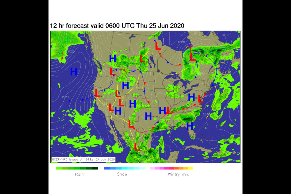
Northwest flow (discussed last time) is coming to an end but not before we get another day of storms that start in the mountains (midday) and move out onto the plains in the later afternoon Thursday (Figure 1 in the gallery above). The next big cold front hits the state Thursday night (Figure 2 and 7). Rain chances are better Friday midday into the afternoon as we struggle to hit 80F. This system is powered by a messy/complex trough pushing into the state from the west (Figure 5). The low pressure system that will form in the middle atmosphere Friday will help bring in moisture from both the Gulf of Mexico and the eastern Pacific (green arrow in Figure 6).
The SPC is concerned that some storms Friday will approach severe levels and has predicted a Marginal Risk (1 on a scale of 1-5) right back to I-25 from the east (Figure 8). Hail, high winds, and lightning, are the primary threats expected.
As we transition from northwest flow to southwest flow, the smoke from the Arizona wild fires will start to ooze back to the northeast (Figure 3 and 4) but it will not be as thick as we experienced last week.
The Longer Range Forecast:
Even though there is another trough approaching us by the weekend, we receive more southwest flow aloft and a "short wave" ridge that passes later in the weekend. These features will heat us up to the 90'sF again (Figure 9 and 2). Some locations on the eastern plains will hit 100F again. Our next relief comes with that slowly moving trough finally passing the state starting Tuesday next week (Figure 10). We drop to the 80's again and see an uptick in afternoon thunderstorm activity (Figure 2).


