In Brief:
Little variation in the weather will occur this week as our ever present ridge remains strong.
Forecast Discussion:
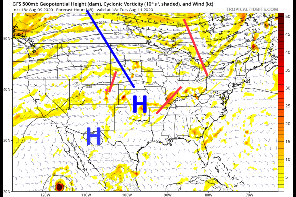
A small shortwave (Figure 1) will cool us to the upper 80'sF Monday (Figure 3) and bring back enough moisture Tuesday for nearby severe weather (Figure 4). These storms will be VERY widely scattered. Most people will only see a storm in the distance if you are out at the right time.
A new fire in western Colorado will send thick plumes of smoke over the mountains in a pulse each day - sorry, you might even smell smoke this time (Figure 2). There is a large amount of smoke spreading across the U.S. from fires in the west.
The Longer Range Forecast:
By Friday, the ridge will slide back to Arizona/New Mexico; we will stay hot and dry (Figure 5). Over the next 5 days, the GFS paints the state with small splashes of random light rain (Figure 6).
The even longer range forecast:
NOAA has issued its probability of temperature and precipitation anomalies for the month of August. We are on the edge of the high probability of unusual heat covering the entire western U.S. (Figure 7). We are also in the "normal" zone for precipitation, but not far from the better chance of abnormally dry weather zone out west (Figure 8). What you see is what you're likely to get this month.


