In Brief:
Completely normal and dry weather, for now, then a small change later in the week.
Forecast Discussion:
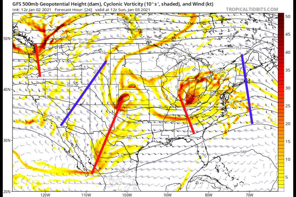
There is not much to cover right now. There are many small short waves rippling across the nation and interesting weather elsewhere, but we are high and dry, presently, with a ridge to our west (Figure 1 below).
 Figure 1: the 500mb upper air forecast map for Sunday AM from the GFS and tropicaltidbits.com
We are sitting with normal high and low temperatures, light winds, clouds at times and nothing newsworthy (Figure 2), 2021 is coming in like a lamb.
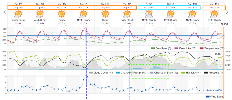 Figure 2: the 10 day graphical forecast from weather5280.com for Longmont, CO.
The Longer Range Forecast:
Passing short waves will kick a weak cool front down on Tuesday and again Thursday (Figure 2). The cool downs following are still within normal temperature ranges for this time of year. The GFS sees a deep trough passing on Wednesday (a bit different than the weatherunderground model in Figure 2) - Figure 3.
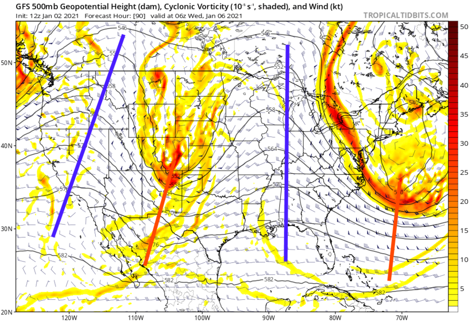 Figure 3: the 500mb upper air forecast map for Wed early morning from the GFS and tropicaltidbits.com
Either way, this front or the second on Figure 2 will bring a period of weak up slope for the end of the week and a bit more precipitation (Figure 2). The mountains see the better (but light) snowfall chances (Figure 4). Go enjoy the new year - nothing big to report here!
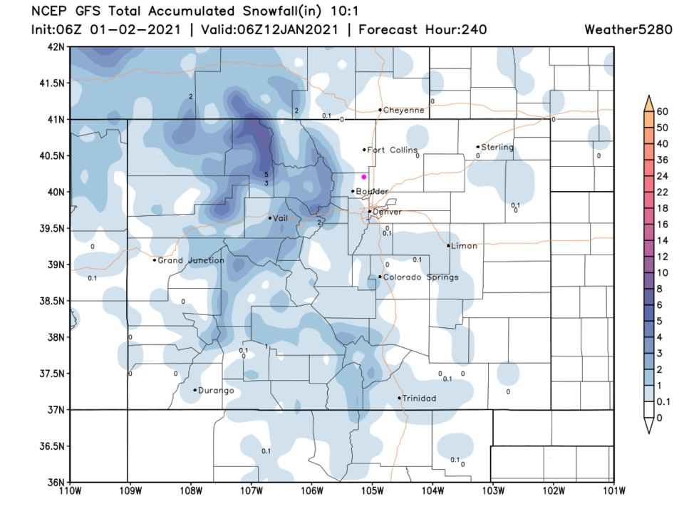 Figure 4: the 10 day (10:1 ratio) total snowfall forecast from the GFS and weather5280.com


