In Brief:
Cooling to normal with less smoke - and a tiny chance of rain.Saturday Update:
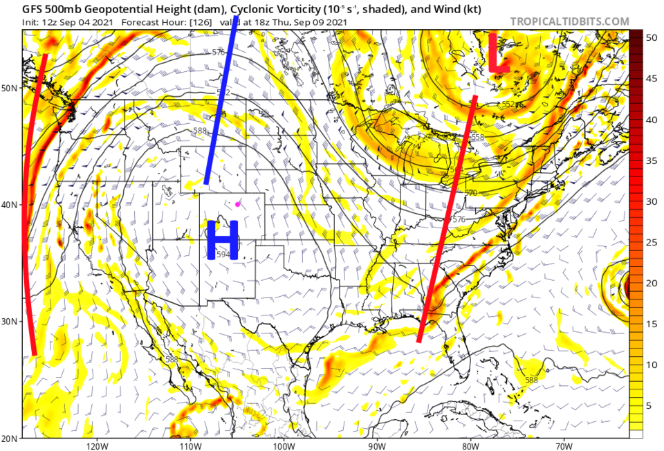
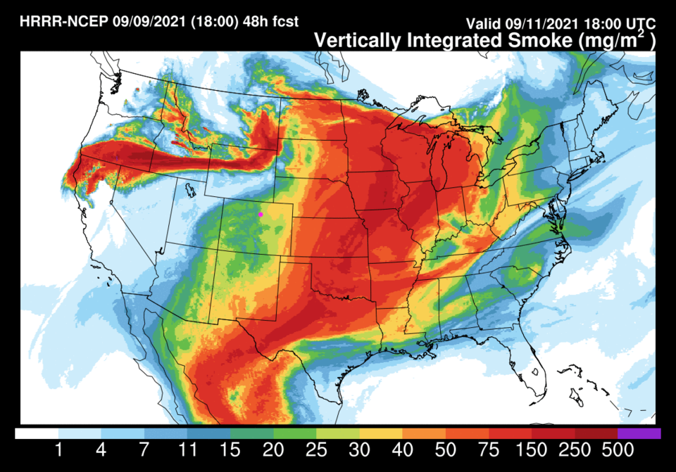
Our first of two cold fronts arrives around 4pm Saturday. Clouds will increase, winds will pick up, and noticeably cleaner air will pour into the state. The next cold front arrives Monday afternoon (see Figure 2 update blue lines), clears the air more and cools us to below normal temperatures for once. Keep your fingers crossed if you want rain.
End Saturday update.
Thursday Update:
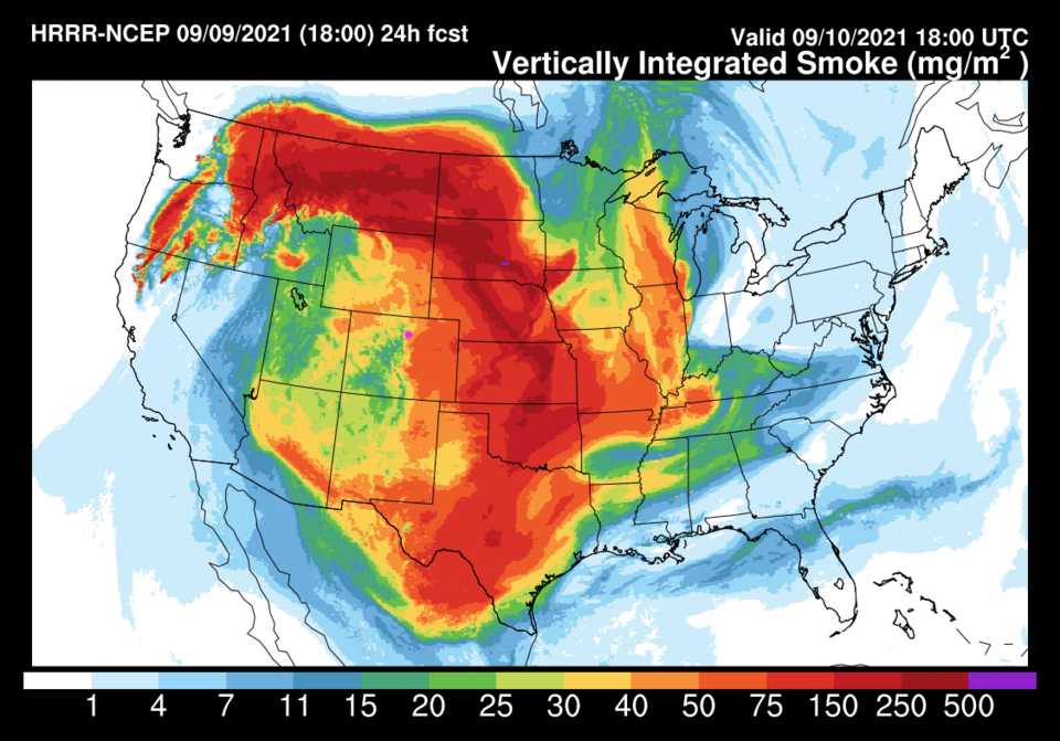
The heat peaks today (Friday). The old record high temperature for Thursday was 94 F set in 1994. It looks like the airport hit 95 F. The record high for Friday is 93 F set in 1993. We are expecting about 98 to 100F. Feel the Sizzle. Smoke will be pretty thick Friday as well (Figure 1 update) but will begin to thin a bit on Saturday (Figure 2 update). Hang on, Fall IS coming.
End Thursday Update.
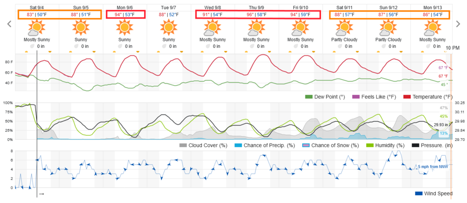
Forecast Discussion:
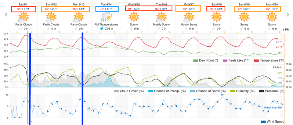
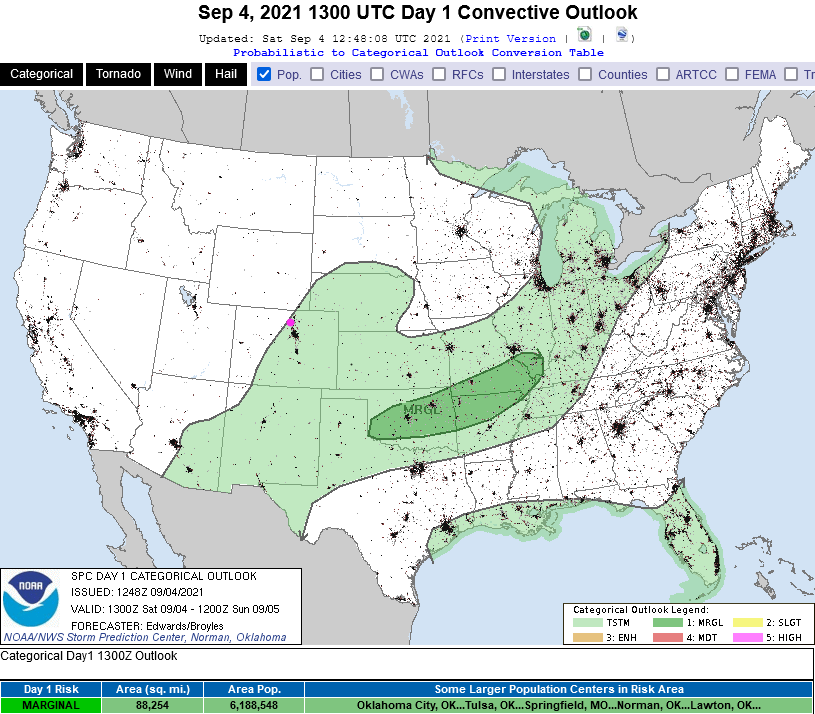
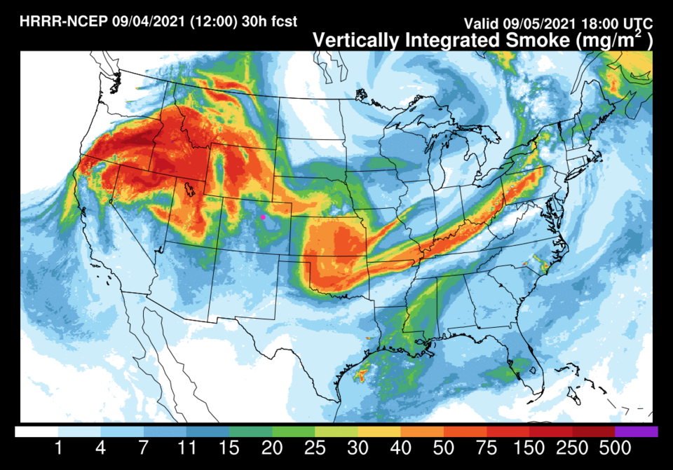
A ridge is returning to the West as moisture leaves. There is still a small chance of a storm or two in the afternoon Saturday (Figure 1). There will be a moderate amount of smoke as most of the thicker smoke remains just to our north (barely - Figure 2). Figure 3 shows nearly cloudless skies, above normal temperatures, and no rain chances for the next 5-7 days.
The Longer Range Forecast:
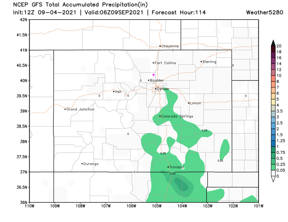
The ridge wanders around the West until it settles overhead by Thursday (Figure 4) taking us to highs pretty close to 100F! Over the next 5 days, there will be almost no rain statewide (Figure 5). It will get cold and icy around here soon, go enjoy this weather!