This content was originally published by the Longmont Observer and is licensed under a Creative Commons license.
Forecast Discussion:
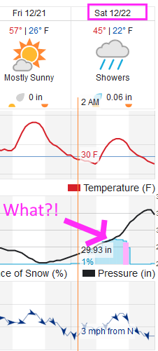
It was windy on Wednesday PM and Thursday early AM, but no precipitation made it into Longmont. But what is this? December 22 has 'something' happening?!?! (Figure 1)
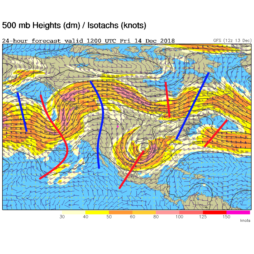
Let's look at the span of time up to the 22nd first. The 500mb map shows the almost ever-present ridge that will sit over the western U.S. (Figure 2). A trough will ripple through now and then either to our north or our south - but we should sit in calm and very unusually warm conditions until the NEXT weekend.
The longer range forecast:
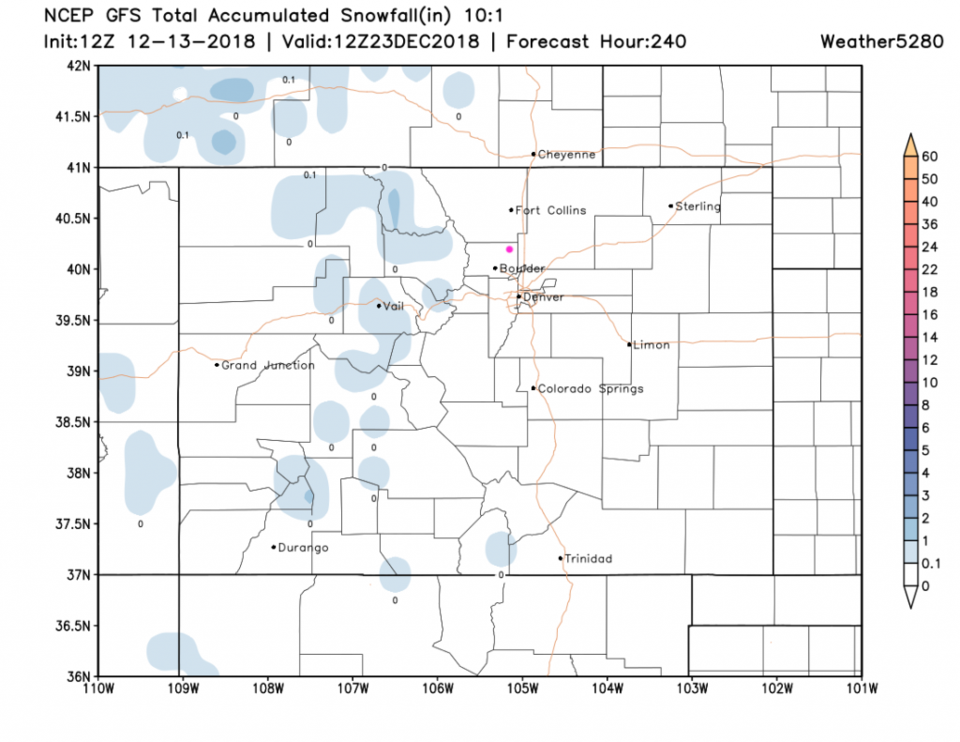
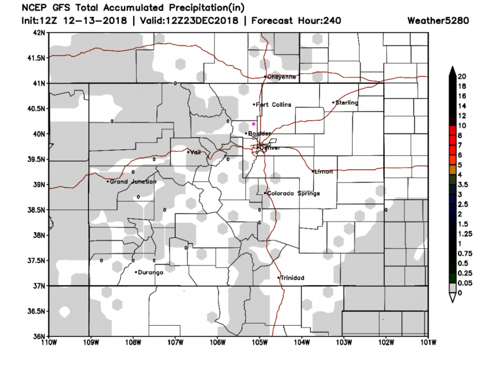
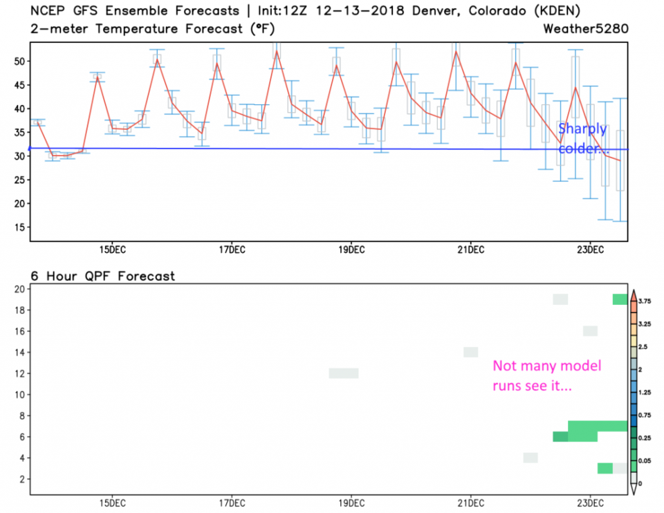
After this long mild nine day period passes, a trough DOES approach. A chance of precipitation occurs right before Christmas with cold temperatures. Figure 3 is the GFS snowfall for the next 10 days. There are traces up in the mountains. Figure 4 is the same but the precipitation (rain and snow) is shown. I had to use an enhancement/color depth changing trick to even see this trace of water. The meteogram from the GFS shows the change happening around Dec 22nd, but not all model runs agree that precipitation will hit Denver. It does give us something to watch as Christmas gets closer.
Christmas Eve and Christmas Day are in the 40'sF for highs and around 12F for lows and dry - at Accuweather.com currently.