This content was originally published by the Longmont Observer and is licensed under a Creative Commons license.
Forecast Discussion:
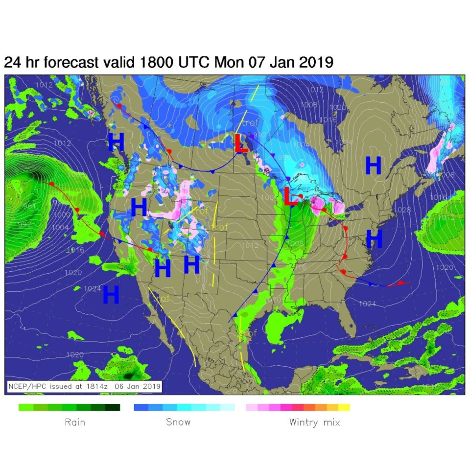
The headline for today (and the reason I'm posting earlier than normal on Sunday PM):
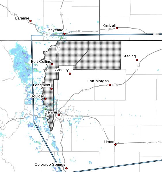
...HIGH WIND WARNING IN EFFECT FROM 8 AM TO 10 PM MST MONDAY...** See Figure 2 below **
The National Weather Service in Denver has issued a High Wind
Warning, which is in effect from 8 AM to 10 PM MST Monday. The
High Wind Watch is no longer in effect.
* WINDS...West 30 to 45 mph with gusts up to 60 mph.
* TIMING...Monday morning through Monday evening.
* IMPACTS...High profile vehicles will be susceptible to
dangerous cross winds. Areas of blowing dust will be possible
with visibilities reduced to one mile or less. Possible power
outages caused by downed power lines.
PRECAUTIONARY/PREPAREDNESS ACTIONS...
A High Wind Warning means a hazardous high wind event is expected
or occurring. Strong winds may lead to property damage. Hazardous
driving conditions due to powerful cross winds will pose a
serious risk for drivers, especially for light weight and
high profile vehicles. Loose outdoor items should be brought
inside or secured properly.
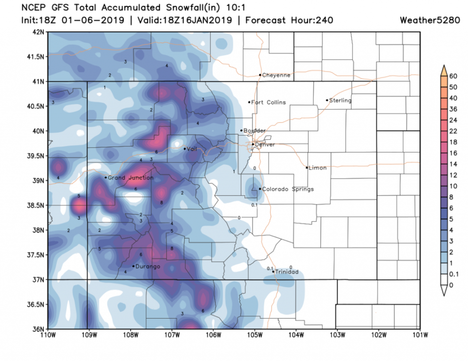
Figure 1 shows the storm squeezing its water out on the Colorado western slopes - we get the energy (heating) from the precipitation formation linked to the powerful jet stream overhead to give us warming and (sometimes) violent down slope winds from later Sunday PM to Monday PM. Tie down any decorations you haven't put away yet.
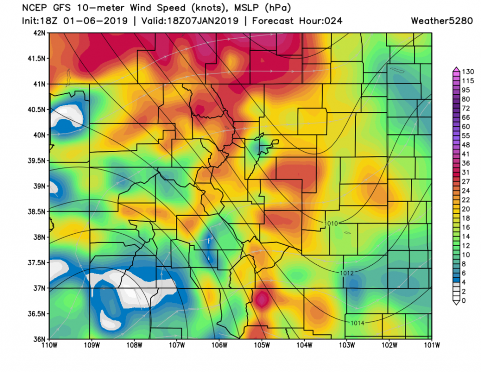
Figure 3 is the noon time sustained wind speeds. That is widespread strong steady winds!
The longer range forecast:
We stay in the 50's F (above normal temperatures) for the next 10 days. The GFS does not show Longmont getting any snow or rain during that time. That can change, but things are unlikely to be largely different from what you've seen later in December through today. Sorry, I wish I could make it snow.