This content was originally published by the Longmont Observer and is licensed under a Creative Commons license.
In Brief:
Dry westerly flow aloft and warming down slope westerly winds will send us to near record heat for the next three days. There will be almost no chance of rain again until Saturday as moisture returns and temperatures drop.
Forecast Discussion:
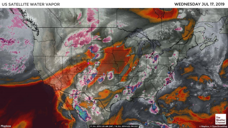
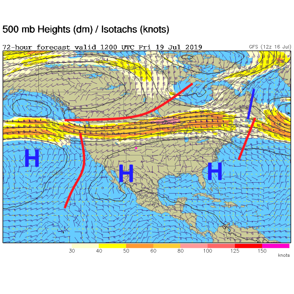
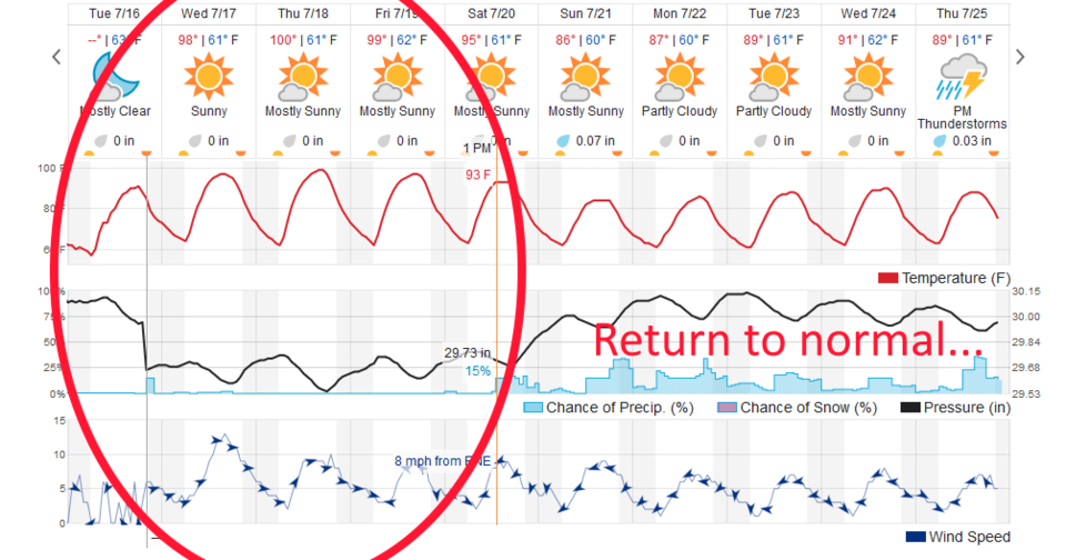
Dry air is streaming into the state (Figure 1 - red coloration). Westerly surface winds will create down-slope flow that further warms the air (bottom graph in Figure 3). The upper levels will see a big high pressure system (blue H's in Figure 2) cover the region. Temperatures will keep rising and dry down slope air = no rain.
The Long Range Forecast:
The next three days will see nearly record high temperatures (100+F should occur Thursday and probably Friday). The ridge relaxes as a trough approaches the state this weekend. Moisture returns so lower high temperatures will result. We'll see, but the next heat wave may not occur until early August, and as the normal high temperatures drop - this might be the hottest period of time this summer.
I'm on a business trip during a camping vacation (how crazy is that) - so I'll make this post cover the next three days. Not much will change except how much everyone sweats. (yuck) Drink lots of water!