This content was originally published by the Longmont Observer and is licensed under a Creative Commons license.
In Brief:
We dry out and warm up through the 80'sF Monday - Wednesday then see lower 90'sF for the first time this year Thursday - Saturday. We drop back to the 80'sF Sunday and lower 80'sF next Tuesday. There are small chances of afternoon thunderstorms Tuesday, then Thursday and on.
Forecast Discussion:
Over the last couple of days, we've had about 1.20 inches of rainfall in Longmont. Over the last 5 days, we've had almost 2 inches. What a wet and cool time!
We dry out today (Monday) and hit the lower 80'sF with almost no chance of rain. There is not much to report today. This is the beginning of some real summer-like weather.
The Longer Range Forecast:
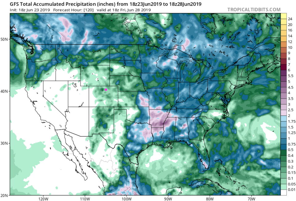
We have a small chance of afternoon storms Tuesday, but we warm a few degrees everyday until we are breaking 90'sF for the end of the week (Figure 1). We won't be entirely precipitation free over the next 5 days - the GFS (Figure 2) gives us between 0.01 and 0.05 inch of water.
Starting Thursday, afternoon storm chances return every day with a cool-down hinted at just before the 4th of July (Figure 1). Watch for some high stream levels from the snow melt mid-week on into the next.