This content was originally published by the Longmont Observer and is licensed under a Creative Commons license.
In Brief:
We peak in the 90'sF one more day today (Sunday), then cool to more normal temperatures (or upper 80'sF) for the week. A return of moisture means that thunderstorms will start to drift off the mountains each afternoon.
Forecast Discussion:
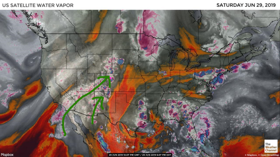
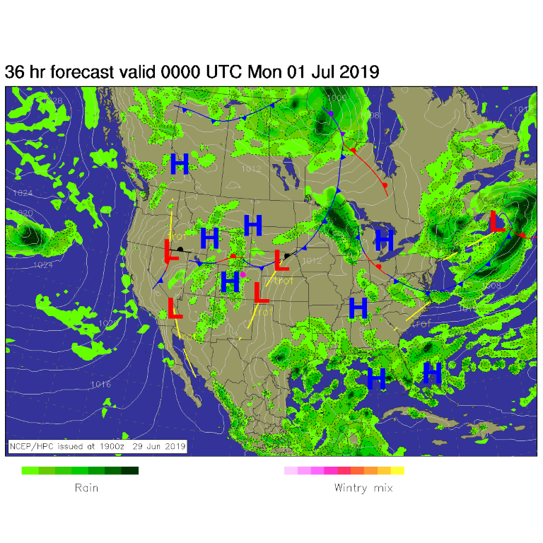
The upper level ridge is moving off a bit so the extreme heat of the weekend will fade a bit after Sunday. But we still have another 90F+ day today (Sunday). Moisture from a failed tropical system off Mexico is pouring into the desert southwest and Colorado (Figure 1). This will allow our more normal pattern of afternoon storms to form in the mountains and drift to the lower elevations in the afternoon (Figure 2).
The Longer Forecast
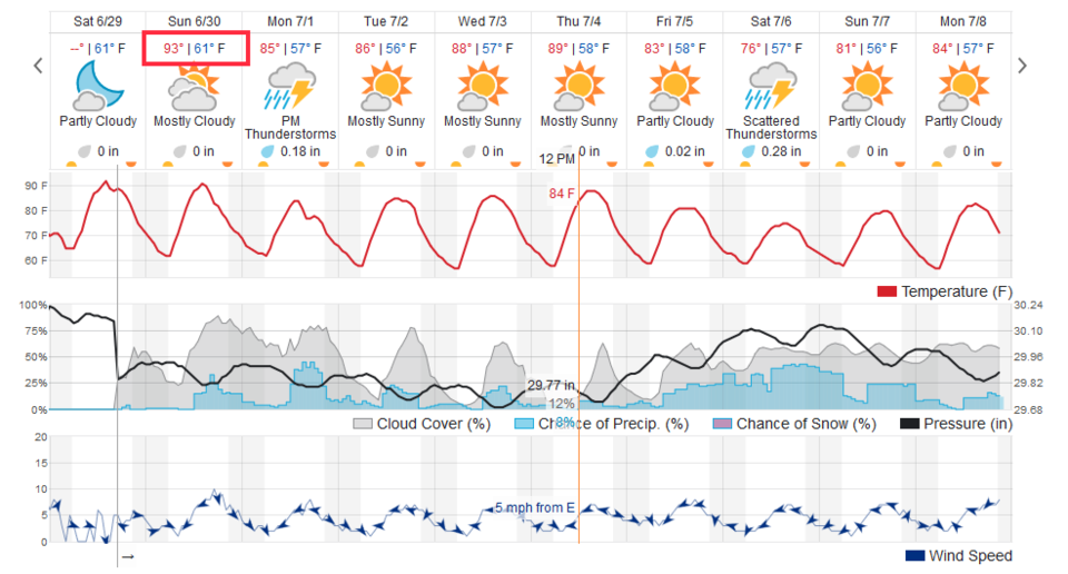
The week looks to feature normal to a bit above normal (upper 80's) and the afternoon storms continue (Figure 3). I return from the remote nether regions of Colorado on Sunday and will again bathe in the glow of eternal internet. (The campfire smoke is getting to my brain.)