This content was originally published by the Longmont Observer and is licensed under a Creative Commons license.
Forecast Discussion:
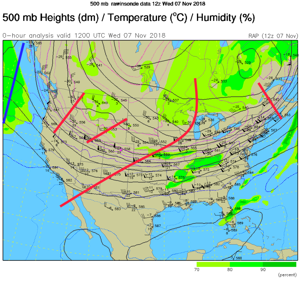
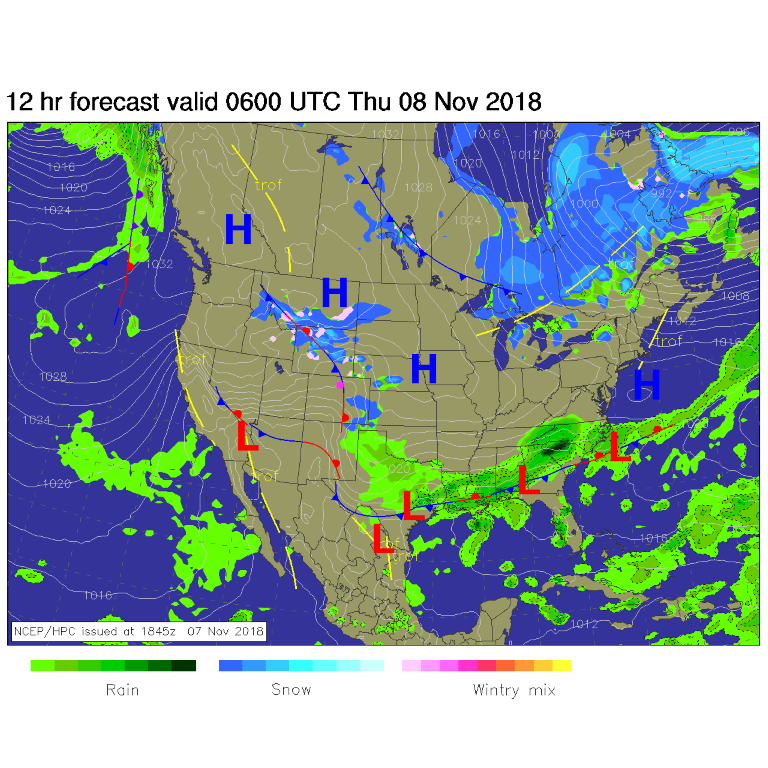
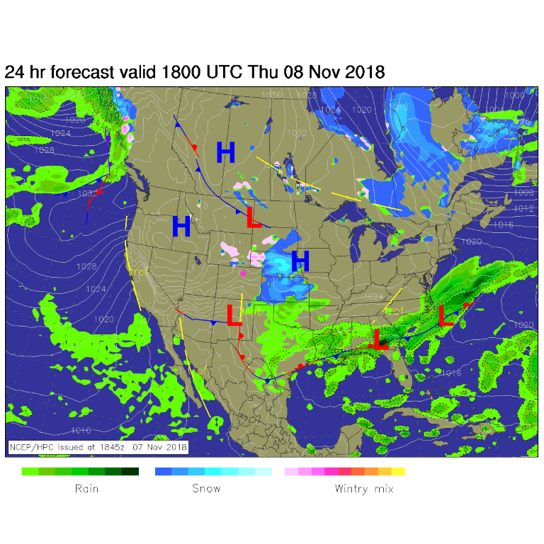
The giant trough continues to be trough-y. That is keeping us cool. There are smaller short-wave troughs embedded the flow that will kick down cold fronts of various strengths through the weekend (red lines in Figure 1). A cold front came down Wednesday afternoon and weak up-slope and lift may drop a bit of snow along I-25 Wednesday PM into Thursday AM. Figure 2 shows the midnight scattered showers and front nearby. Figure 3 shows the main storm off to the east by noon today (Thursday).
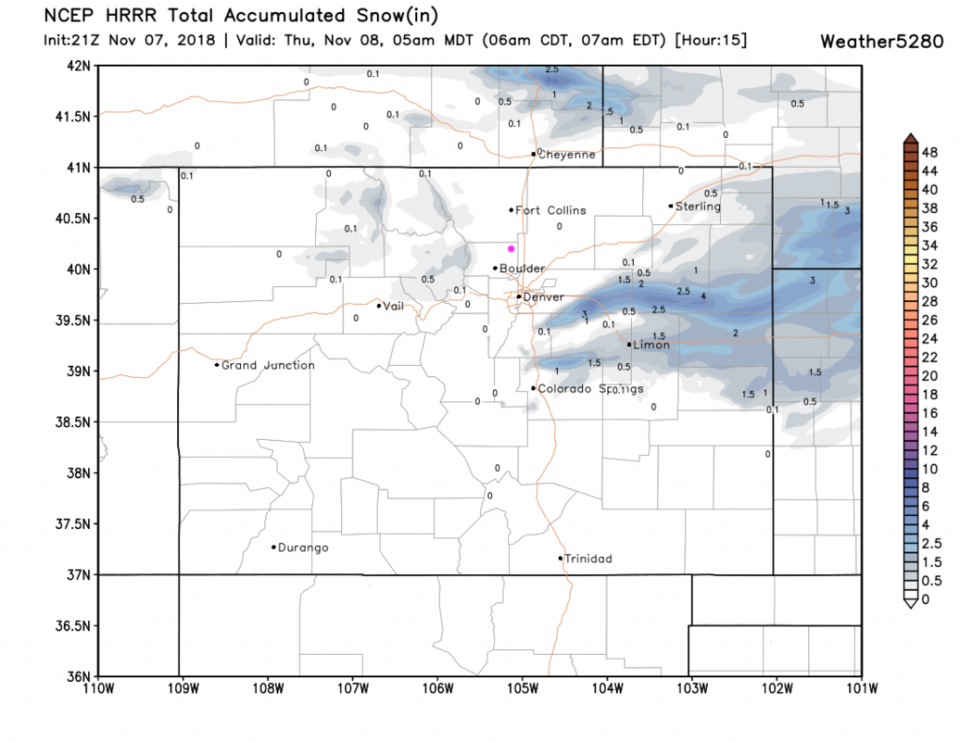
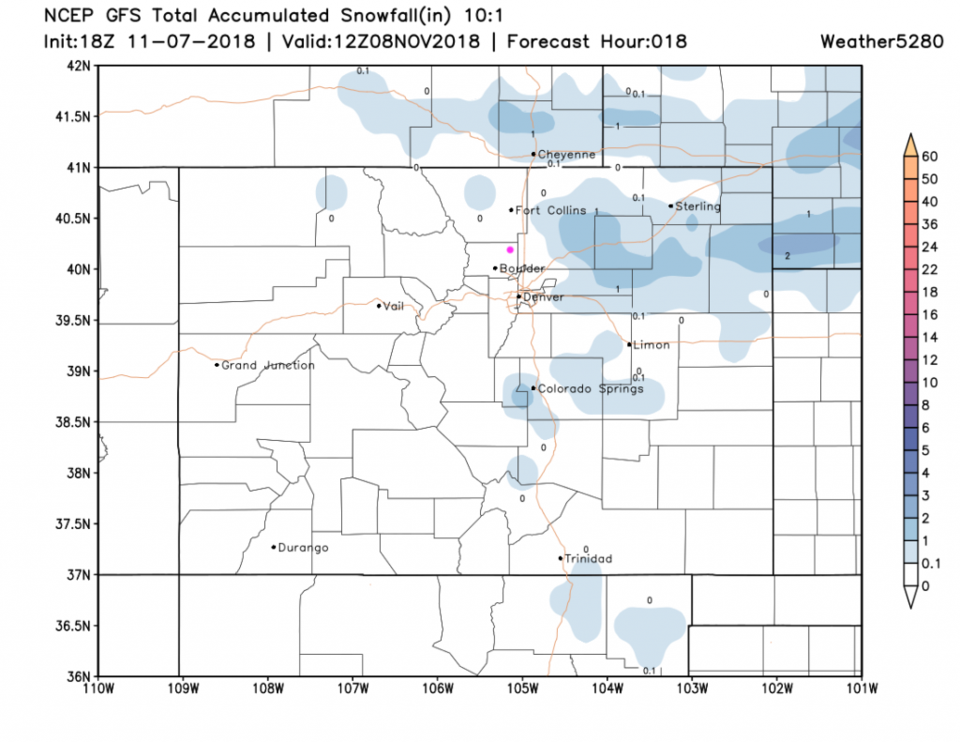
Figure 4 is the HRRR model for the 15 hours up to 5 a.m. Thursday. There are a couple of bands of snow out on the plains, but not much of note around Longmont. Figure 5 is the GFS for the next 18 hours (through Thursday AM). It shows snow closer to Longmont, but there isn't much.
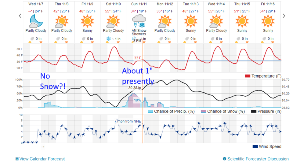
Figure 6 is the the 10 day graphic from the weatherunderground.com model, and it gives only a small chance of rain overnight.
The longer range forecast:
There is another front that passes on Friday that keeps us cool. The weekend storm may come from two short wave troughs that extend precipitation chances through Monday. More on that later!