This content was originally published by the Longmont Observer and is licensed under a Creative Commons license.
By John Ensworth
Special “Programming” note: I missed the Tuesday 8/22 forecast discussion. The eclipse from Lusk, WY was breathlessly wonderful beyond words. But the 10 ½ hour drive back (should have been 3 ½ hours) wasn’t that great…and the cell towers were beyond overloaded. Sorry about that!
Discussion:
A progressive pattern is in place which means troughs and ridges are on the move across the U.S. We have a ridge ready to run us over today, followed by a trough, followed by a ridge. Each trough can kick down a cool front and keep our mid-80’s high temperatures (slightly below normal) going. The upper air flow is a yellow arrow in Figure 1 that also shows the front and mid-west cool air backing up to the ‘shore line’ of the Rocky Mountains. This air is stable, though moist. Thunderstorms are kicking off in the mountains but dying by the time they drift over the nearby plains.
Figure 1: The Tuesday PM surface analysis map with radar map background.

Figure 2 shows the northwest flow of moisture from the western U.S. drifting in to create some good western slope storms (but nothing around Longmont). The monsoon flow is caught under the ridge down in Mexico, New Mexico, Texas and Oklahoma (green arrow in Figure 2).
Figure 2: The water vapor satellite from Tuesday PM.

The upper air pattern shows a progressive pattern with trough axis closer together than the width of the U.S. Currently we have northwest flow (black arrow in Figure 3).
Figure 3: The RAP upper air pattern from Tuesday PM.

In a look at the longer range:
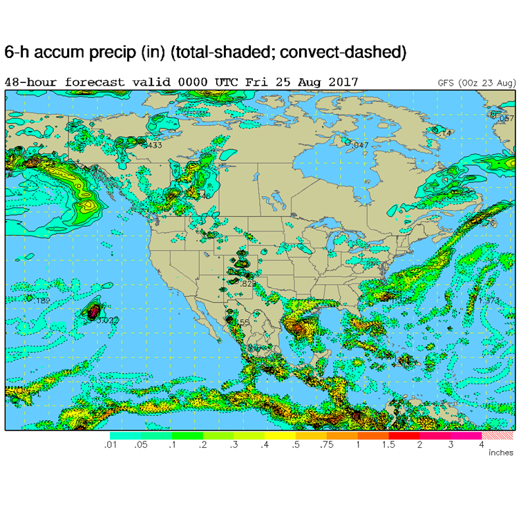
By tomorrow night (Figure 4 and 5) the ridge is already past us with a somewhat complex trough pattern effecting us. You can see in Figure 5 the mountain convection still firing off.
Figure 4: The GFS forecasted upper air pattern for Thursday PM.

Figure 5: The GFS forecasted surface precipitation air pattern for Thursday PM.

*** This feature will run as close to daily as possible in this location on the Longmont Observer. This article will provide a brief discussion concerning the ‘why’ behind the weather with a focus on severe weather, unusual weather, and snow (especially trying to predict snow depth and its human impact in Longmont).***
Bio:
John Ensworth works from Longmont as the Principle Investigator for the NASA Science Mission Directorate Earth and space science education product review through the IGES (The Institute for Global Environmental Strategies – www.strategies.org) . He is in his 14thyear running this review. He is an astronomer (from the 2nd grade onward) and became a meteorologist (in the 5th grade) when a thunderstorm in Arizona rained on his telescope when the weather service had only forecasted a 10% chance of rain. He has college degrees in physics and astronomy and climatology and a graduate degree in meteorology and earth science. He lectures at the Little Thompson Observatory in Berthoud, the Estes Park Memorial Observatory in Estes Park, and for a number of online universities. He built and runs a backyard observatory near Pace and 17th in northeast Longmont where he has lived for 8 years with his wife, daughter, son, and two cats. Invitations to open house nights at this observatory, LTO, and EPMO will be posted with future discussions when they are scheduled.
Forecasting severe weather and snow amounts via text lead to this column. He began texting friends about the weather right after the September 2013 flood. The readers of this column will, hopefully, keep him honest in what he ‘thought’ he had forecasted for ‘the most recent’ storm.


