This content was originally published by the Longmont Observer and is licensed under a Creative Commons license.
Forecast Discussion:
Now that the moisture and jet stream are here, we are getting bits of rain just about every day. The last couple of days saw a few hundredth of an inch in spots across town. But a jet powered front and surface low pressure system are going to make things wet, cold(er), and possibly severe Sunday into Monday.
(I'm still on vacation in Texas for a family wedding, so I'm making this short).
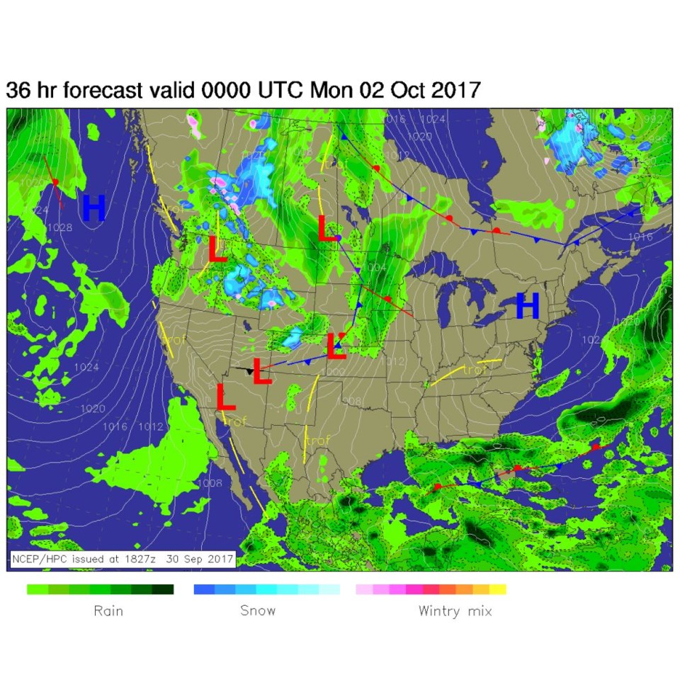
Figure 1 is the Sunday PM surface map showing the low that has tracked across northern Colorado all day (and right over Longmont in the afternoon). There is a winter storm watch for the northern mountains overnight tonight into Monday with Rocky Mountain National Park and other locations north of I-70 getting a *possible* 8-16" of snow as snow levels drop to the 7,000 to 8,000 foot level. You probably don't want to camp up in the mountains at the end of this weekend.
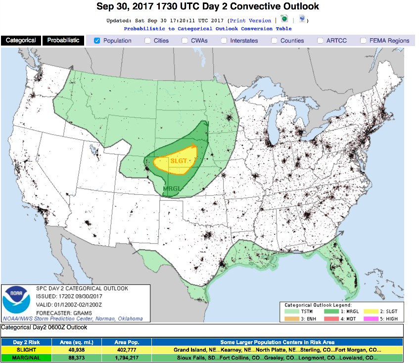
Down on the plains, the atmosphere will be set up for a Marginal Risk (1 on a scale of 1-5) of severe weather. A couple of model runs have created a supercell thunderstorm or two that have tracked off to the east in NE Colorado dropping numerical hail as they go. Figure 2 shows the Slight Risk further east of Longmont. On top of that, we might get 0.3-0.5 inches of rain between Sunday morning and mid-afternoon Monday. The GFS disagrees though, Figure 3 seems to show only a tenth or two of an inch of rain through that time period.

In the longer range:
Things dry out just a bit Tuesday to Thursday, then another storm system may deliver more rain and mountain snows. More details when I'm back home!


