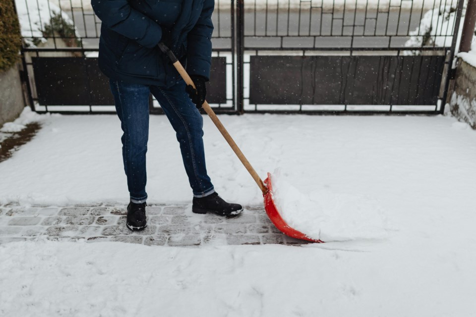
Denver experienced one of its snowiest Novembers in history, with a significant amount of snowfall in a short period.
This month’s snowfall ranks among the top ten snowiest for Denver, showing the unpredictable nature of Colorado's weather.
A Record-Breaking Snowstorm in November
Denver saw nine snow days in November, with six consecutive days of snow from November 4 to November 9.
This stretch of snow produced a total of 20 inches, making it the snowiest November storm since 1994.
By the end of the month, the total snowfall reached 23.3 inches, securing its place as the fourth snowiest November on record for the city.
The storm brought more than just snow, as it helped disrupt daily life and created beautiful, wintery scenes throughout the area.
It was a stark reminder of how quickly weather can change in Colorado, where one week can bring summer-like temperatures and the next can cover the city in snow.
Top 10 Snowiest Novembers in Denver
With 23.3 inches of snow, November 2024 ranks as the fourth snowiest November in Denver history.
The snowiest November on record occurred in 1946, with a massive 42.6 inches of snow.
Other notable snowy Novembers include 1991, which saw 29.6 inches, and 1983, with 29.3 inches, both of which remain among the top snow totals.
These rankings highlight the city's variable weather patterns.
Some years bring little to no snow, while others, like this November, deliver a substantial amount in just a few weeks, leaving a lasting impression on residents and visitors alike.
Snow Boosts Statewide Snowpack
By the end of November, the statewide snowpack in Colorado reached 131% of average, thanks to the heavy snowfall in the Front Range.
This early snow accumulation is a positive start for the state's water year, which is critical for maintaining water levels throughout the region.
The snowpack is essential for managing Colorado’s water supply, particularly in the dry summer months.
However, a dry stretch is expected for the first week or two of December, which may cause the snowpack to decrease slightly.
Despite this, the strong snowfall in November has set the stage for a healthy snowpack to continue into the winter season.


