In Brief:
Mild now until a chance of Friday snow. Warming after that!
Wednesday Update:
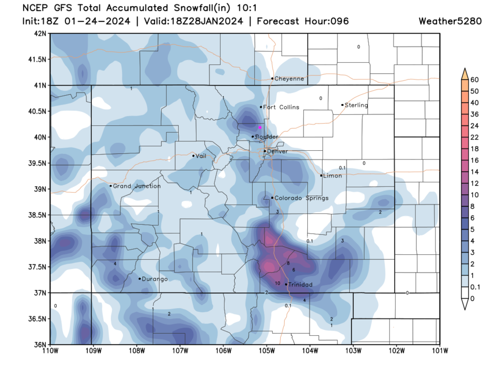
We remain a bit above normal for temperatures until a front arrives Thursday PM. The snow totals will go from zero just east of I-25 to 4-5 inches 10 miles west of I-25 below the Front Range Mountains (Figure 1 update). This is a brief (6-12 hour) duration storm that will be replaced by a warming trend that takes us to the 60F for highs early in the week. Drive safely!
End Wednesday update.
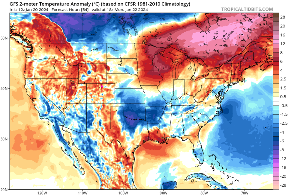
The Front Range Forecast:
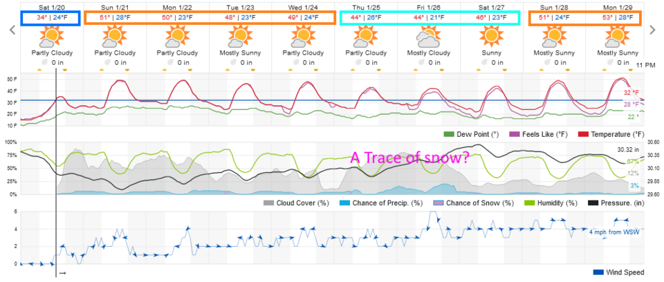
After a (dry) cold snap on the Plains at the end of the week, we enter a long quiet stretch (Figure 1). We'll see temperatures above normal (Figure 2) much of the next 10 days with only a brief cool down and (at this time) only a minor chance of snow.
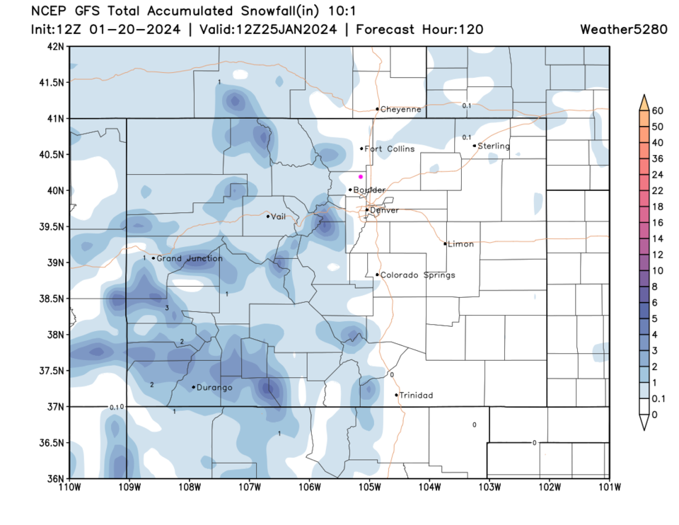
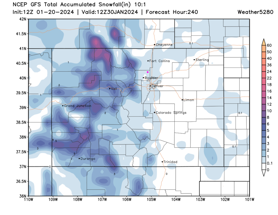
The Long Range Forecast:
The western side of the state won't be as quiet. Over the next 5 days, we'll see a trace to a couple of inches in the high country (Figure 3). Better snow amounts will pile up over the following 5 days (Figure 4). Sorry I don't have more to say!