This content was originally published by the Longmont Observer and is licensed under a Creative Commons license.
Forecast Discussion:
We hit 66F on Thursday and will see a very similar temperature today (Friday) as a ridge center moves overhead ahead of a minor cold front arriving on Saturday mid-morning.
The first, very minor, frontal push will cross Longmont around 4pm Friday. Another cool push comes down from the north around 8am. We only cool about 10-12 degrees F off of the very warm Friday temperatures.
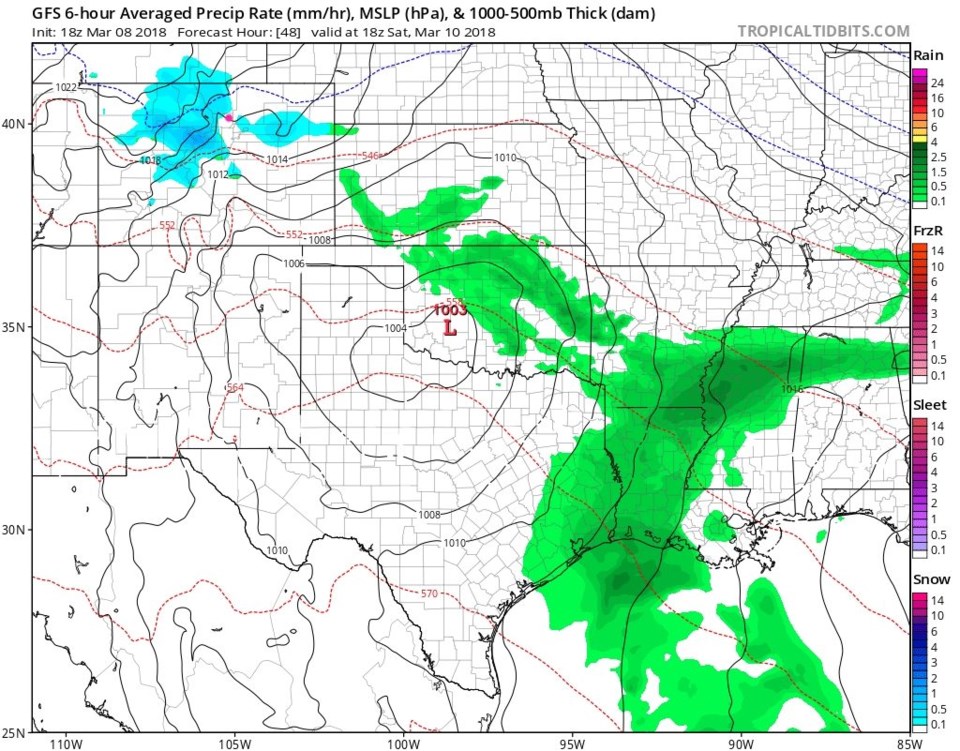
Figure 1 shows the maximum precipitation extent midday Saturday. There is light snow in the mountains and there is a tiny chance of sprinkles or flurries in Longmont before this clears out.
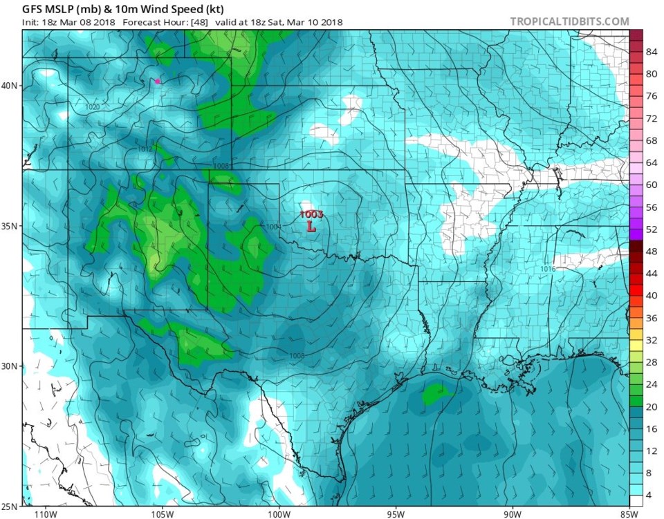
Figure 2 shows winds midday Saturday. Winds won't be extreme, but the chill and gusty breezes will make outdoor activities uncomfortable. Winds will hover in the 15-20mph range for a few hours. After that we stay above normal as far as temperatures are concerned, and dry.
The longer range forecast:
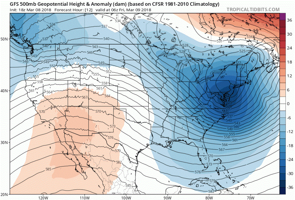
Figure 3 is the big picture 500mb upper air map with ridges as red colors and troughs in blue (departures from average). For most of the week, a big pink/red ridge dominates the west. By Friday, a trough finally digs down the West coast and is approaching Colorado by middle next weekend. The very long range forecast does hint at rain and snow around Sunday next week.