This content was originally published by the Longmont Observer and is licensed under a Creative Commons license.
Written by Andrew Zimmerman
The Great Plains Trail covers 2,200 miles from The Grasslands National Park in Montana to The Guadalupe Mountains National Park in west Texas. The trail covers three National Parks, three National Monuments, ten National Forests/Grasslands, five State High Points, and fifteen State Parks. The trail allows for hiking, horseback riding, and in most areas, mountain biking.
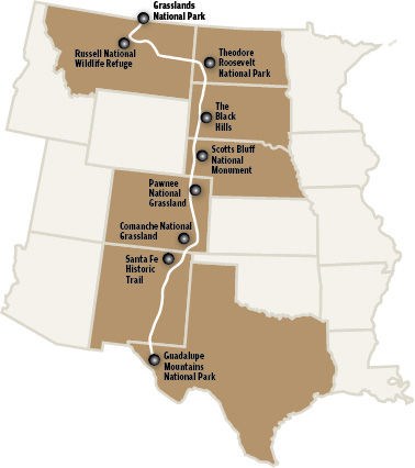
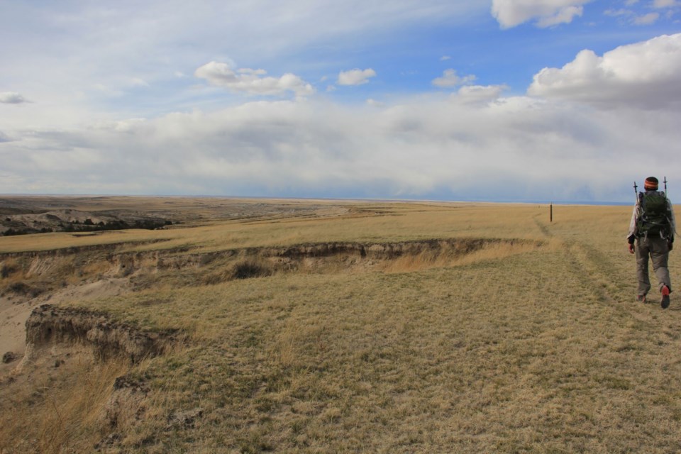
Photo Courtesy of the Rapid City Journal
I had the opportunity to speak with Steve Myers, a Longmont resident and the founder
"The mission of GPTA is to establish, develop, preserve and promote a long-distance, public, non-motorized trail running north/south through the Great Plains region of North America for the purposes of recreation, conservation, education, and inspiration," states Myers.
The idea originated when Myers was traveling from his childhood home in Minnesota to the Tetons of Wyoming, where he was taken back by the beauty of the lands west of the Missouri River.
A former math teacher at the Boulder Country Day School, Myers is very passionate about "highlighting a portion of the country that is often overlooked as flat and boring, etc." In fact, quite the contrary is true, as the "route" meanders through grasslands, National Parks and Monuments, and State Parks. This truly is "an untapped resource" says Myers. He began development and promotion of the trail in 2010.
Similar to other long routes such
Myers pointed out that the trickiest section to navigate is in New Mexico, where it would take a hiker more than a day to reach the camping area without violating private land agreements. Here, he advised, the addition of car support may be advised.
Currently, Myers and the GPTA are working on a '
Losing the stereotype of flat and boring is what Myers is banking on. Bringing the Great Plains Trail into the public eye as an option for those seeking something different, something off the beaten path, something beautiful and worthy of exploration is the goal.


